
L'IMAGERIE SATELLITAIRE POUR LA PLANIFICATION DES TRAVAUX À VENIR

VUE DE LA ZONE DE CULTURE POUR UNE MEILLEURE GESTION DES CHAMPS

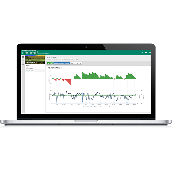
GESTION INTELLIGENTE DE L'IRRIGATION AVEC IRRIMET

L'accès aux modèles de maladies des plantes nécessite un abonnement saisonnier
L'accès aux prévisions météorologiques (prévisions horaires, à 3 et 7 jours, etc.) nécessite un abonnement annuel.
Des intégrations API sont disponibles