
New Addition to FarmView
The Satellite Module
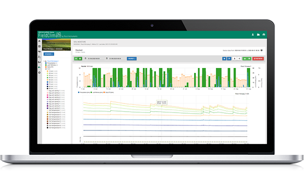
We are excited to announce the release of a new feature in FarmView. Long expected Satellite module will give FarmView users the possibility to take work with their data to the next level. They will now be able to combine satellite imagery with measured data from iMETOS stations and modules for a full integration of data visualization.
Features:
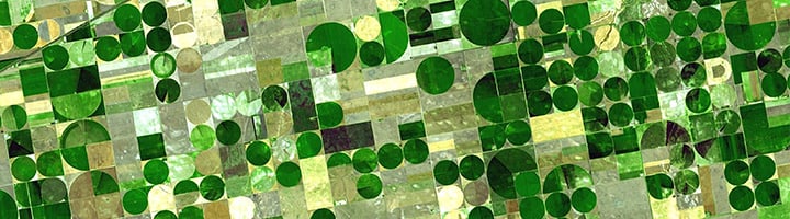
- Aerial imagery from Sentinel-2 satellite with 10 m resolution, uploaded every 5 days, for full monitoring of vegetation dynamics.
- Biomass Viewer graph: Monitor Biomass development via Leaf Area Index (LAI) quantification at any given space, time and crop type. Mean, maximum and minimum LAI values throughout the cultivation period can provide relevant information for long-term yield potential.
Data Options:
- Monitor growth stages of multiple crop zones: biomass accumulation over time allows users to identify crop-growth stages such as Vegetative phases (planting to flowering), maturity, and harvesting timing. Get the best out of your crop at the right time.

Crop of soybeans monitored with Satellite Module, throughout the cultivation period. Possibilities to control growing degree days (GDD) via Biomass Viewer graph allow growers to strategically prepare crop management from planting to harvesting. Aerial images – from right to left – show crop development from: planting (right-pink images with low LAI), to maturity with highest LAI accumulation (middle-darkgreen images), and finally harvesting on the left side.
For more information, graphs and examples visit FarmView website.